Photogrammetry software such as Meta Shape GCPs has become an important tool for professionals engaged in mapping, surveying, and 3D modeling. However, while many users focus on the quality of the camera or drone path, the choice of ground control points (GCPs) is one factor that is often neglected. These small but mighty tools contribute immensely to the accuracy of your final map or 3D model.
If you have often been uncertain about how, where, and why to place GCPs in Meta Shape, you are not alone. Many other users do not realize that the improper placement of GCPs may ruin the project, even if the correct number of points has been placed. In this article, we will unravel the often-misunderstood subject of proper placement in Meta Shape GCPs.
What Are GCPs and Why Do They Matter?
Ground Control Points are physical markers on the ground with known geographical coordinates. Meta GCPs are used in combination with software to create accurate maps and images. These points are visible in the photos captured by your drone or camera, and their real-world positions are used to align your digital model or map. With these points, Meta Shape can correct for camera distortion, uneven terrain, and GPS errors.
Without GCPs in place, the project may seem visually correct but be off by meters when it comes to real-world coordinates. That matters a lot in industries like construction, surveying, and agriculture, where every inch counts.
Why Placement Beats Quantity
Most beginners will think that using more GCPs will result in more accurate GCPs. The reality, however, is that placement matters way more than quantity. Fifteen poorly placed GCPs could provide lower accuracy than five optimally placed GCPs.
So, what determines an optimal placement? It really is all about coverage. Your GCPs really ought to present an even distribution across your area of interest and should not be clumped together. This way, the software will appropriately apply corrections against distortions throughout the model instead of calling for attention in only one localized area.
Common Mistakes in GCP Placement
Small mistakes committed even by seasoned users are sometimes detrimental to the results. Do avoid these common traps:
- Packing all points into the center: This will distort the accuracy of the edge edges of your map.
- Lining up in straight rows: Straight rows confuse the software and cause warps.
- Lifting elevation levels: Use GCPs across elevation levels.
- Placing poor targets: Contrast-less targets or hard-to-see targets are mostly a challenge to Meta Shape for its use.
Horizontal and vertical placement should be varied for the best result throughout the entire area of interest.
Tips for Effective GCP Placement
These are tips that can help you with accuracy and reduce the effort in post-processing.
- Set up at least 5-7 GCPs for your small to mid-sized projects and increase as your area increases.
- Distribute GCPs evenly to the corners and the center of your site.
- Scatter GCPs along the edges to avoid stretching or deformation near the borders.
- Plant GCPs at different elevations, i.e., if any hills, slopes, or drops exist in your area.
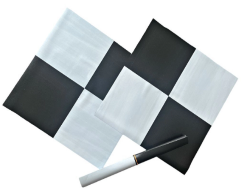
- High-contrast colors or checkerboard patterns are your best bets for high visibility.
With proper pre-planning in the field, many hours can be saved in the image alignment process.
Entering GCPs and Marking in Meta Shape
After placing and capturing GCPs in the field, the next objective is to upload them into Meta Shape. This is where the need for accuracy comes into play. During the GCP marking process in Meta Shape, zoom in closely and mark the exact center of the target on multiple images. The more images that feature the GCP, the better Meta Shape can triangulate its position. So, take your time—it's worth being precise.
What Most Users Don’t Know
If you add a few checkpoints along with the GCPs, you will have a means of assessing the accuracy of your model. Checkpoints are not meant for, nor can they be used to correct, the model-error evaluation. After processing the model, Meta Shape will compare the actual location of the checkpoint to its predicted location in the model. This will give you a real measure of the accuracy of your results.
What else do users forget? The software tends to rely overly on GCPs when they are placed too closely. By putting them further apart, you enable Meta Shape to use its algorithms properly and distribute accuracy over the whole surface more evenly.
Conclusion
Ground control points are not optional embellishments but are the backbone of photogrammetry accuracy. And within Meta Shape, how you treat them makes all the difference—spacing, placement, elevation, and edge coverage. Step-by-step, smart planning makes your project more reliable and less error-prone.
Whether you are a novice or an expert mapper, remember this: as great as your drone and fine camera may be, nothing replaces a good GCP strategy. Don't just drop GCPs anywhere for the best results in Meta shape—place them purposefully.